Travel Western North Carolina
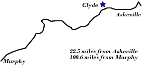
Motoring through the Mountains - 1930s: Clyde
Haywood County
Altitude: 2,550 feet
Click on the image to view it larger.
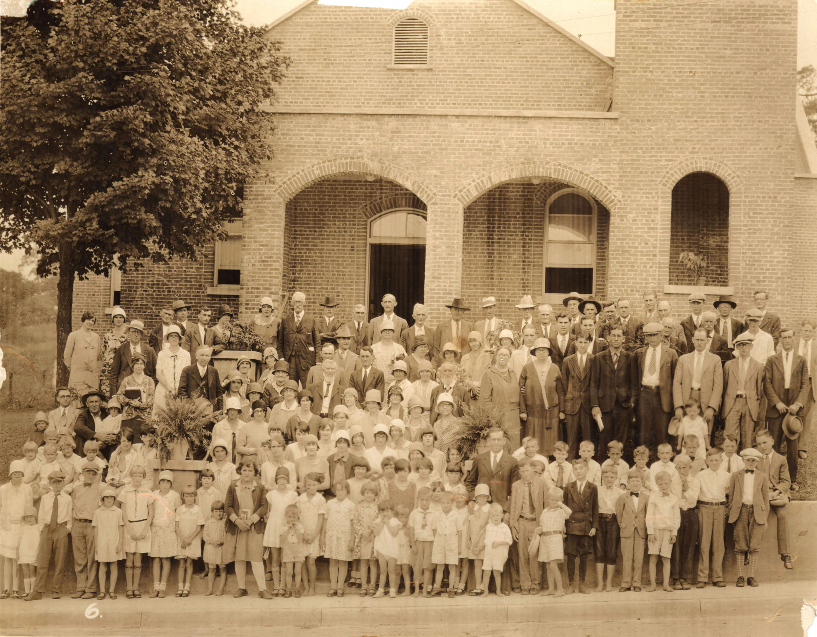
As communities in western North Carolina grew and transportation by roads improved, a variety of social, cultural, and economic activities grew larger. Stores expanded their merchandise, industries expanded, schools consolidated, and church congregations enlarged. Also, the Federal Writer’s Project book, North Carolina: A Guide to the Old North State (1939), noted that the town was an important center for the shipment of beef cattle.
 |
||
Return to the Map for the 1930s
Sources & Readings
- Allen, W.C. (William Cicero). The Annals of Haywood County, North Carolina: Historical, Sociological, Biographical, and Genealogical. [S.l.: S.n.], 1935.
- Farlow, Betsy, Dan Lane, and Duane Oliver. Haywood Homes and History. Hazelwood, N.C.: Oliver Scriptorium, 1993 (Waynesville, N.C.: D. Mills, Inc.).
- Federal Writers’ Project of the Federal Works Agency, Works Projects Administration. North Carolina: A Guide to the Old North State. Chapel Hill: University of North Carolina Press, 1939.