Travel Western North Carolina
Motoring through the Mountains - 1930s: Biltmore
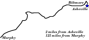
Buncombe County
Altitude: 2,005 feet
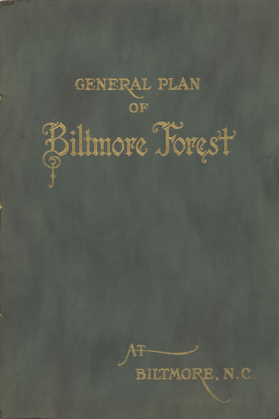
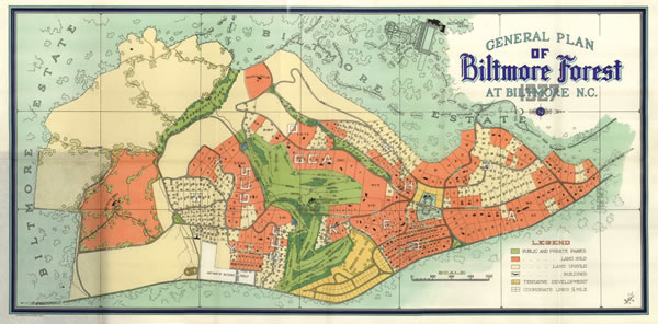
In 1920 a new town was envisioned in the Biltmore area, one visualized by its founders as a graceful, planned residential community. Formed from Biltmore Estate lands, the Town of Biltmore Forest was chartered in 1923. This mid-1920s booklet contained a list of tracts, requirements for new residences, and a fold-out map of the town. The 1923 act of the North Carolina General Assembly incorporating the town referenced a number of streets and roads, including the Access Road of the Biltmore Estate, in delineating the town’s boundaries. The Biltmore House itself opened to public visitation in 1930 and became a prime tourist attraction of the region. In addition to the House and its gardens, the brochure Asheville, Where to Go also noted that “[t]he many miles of roads leading through the forest, park and farm lands of the great estate add interest to the tour.”
 |
||
Return to the Map for the 1930s
Sources & Readings
- Asheville Chamber of Commerce. Asheville, “In the Land of the Sky”: Where to Go, What to Do, What to See. Asheville Chamber of Commerce. N.d.
- Biltmore Estate Company. The Story of Biltmore Forest. [New York?]: Privately Printed for the Biltmore Estate Company, 1925.
- Biltmore Estate. General Plan of Biltmore Forest at Biltmore, N.C. [Philadelphia: Ketterlinus, 192-].
- Rickman, Ellen Erwin. Biltmore Estate. Charleston, S.C.: Arcadia Pub., 2005.
- Schulman, David. Biltmore Forest: Our History, Our Lives. [North Carolina: D. Schulman, 1998?].
- Swaim, Douglas, ed. Cabins & Castles: The History & Architecture of Buncombe County, North Carolina. City of Asheville, County of Buncombe: Division of Archives and History, North Carolina Department of Cultural Resources, 1981.